
-
 LengthLess than 1 km
-
 difficultyAverage


Location
Coordinates
Map Key
-
 Location
- Easy
- Average
- Hard
- Very Hard

difficulty
Easy
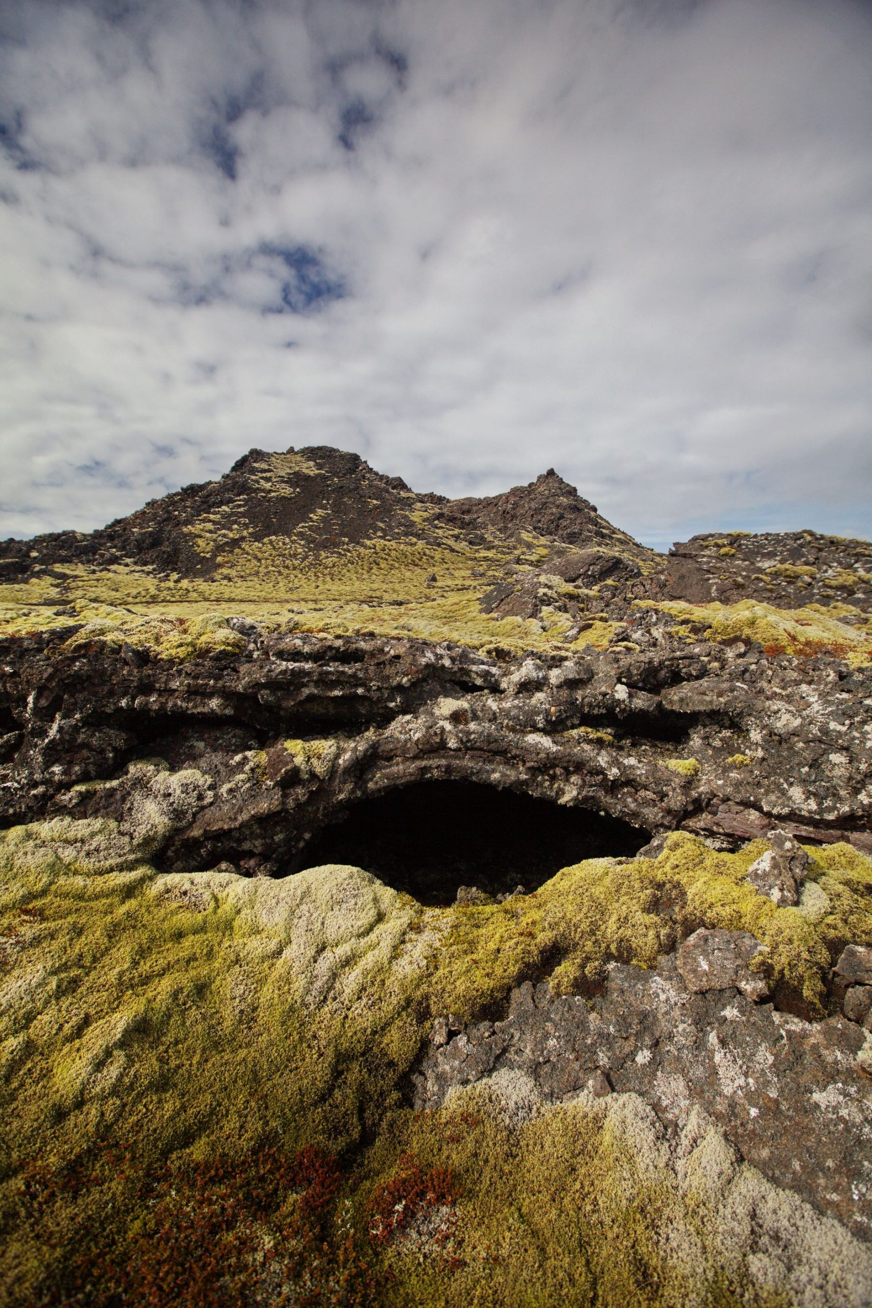
Thorshofn
One of the main German trading post in Iceland during the 15th and 16th centuries. During the 19th century, ships started frequenting the harbour again but it was gradually abandoned, as the Sandgerði harbour was improved.
